Eco Intelligence

Track Forest Change with Precision — In Real Time

Overview

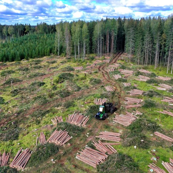
At Cosmo Technologies, we fuse drones, LiDAR, IoT sensors, and AI models to create the most detailed, decision-ready forest intelligence available today. From digital tree inventories and biomass mapping, to biodiversity assessments, carbon monitoring, and threat detection — our integrated platform delivers clarity where it matters most.

Whether it’s species conservation, REDD+ carbon accounting, restoration planning, or compliance-driven audits, Cosmo brings together science, technology, and field expertise — giving governments, NGOs, and businesses the tools to protect and manage ecosystems with confidence.

Key Capabilities

Tree Census & Digital Inventories
Drone and LiDAR surveys to count and map every tree, with attributes like height, girth, crown, and survival rate.
Species Mapping & Biodiversity Monitoring
AI/ML-driven species classification, biodiversity indices, and habitat corridor identification.
Carbon, Climate & Restoration Intelligence
Biomass-to-carbon stock estimation, soil carbon, sequestration potential, and eco-restoration prioritization.
Forest Health, Threats & Compliance
Canopy stress, encroachment, fire-prone zones, and compliance-linked forest baselines for regulatory approvals.
24×7 Wildlife Monitoring
Continuous monitoring of animal movement, habitat corridors, and conflict zones using drones, camera traps, and IoT sensors.

Our Process

Mission Planning & Compliance Review
Customized flight plans with regulatory approvals and area-specific considerations.
Data Acquisition
Multimodal capture using drones, IoT sensors, and satellite inputs for spatial and environmental data.
Data Processing & Modeling
Generation of digital inventories, terrain models, biomass layers, and species classification outputs.
Environmental Intelligence Layering
Overlay of carbon, biodiversity, degradation, and risk factors for multi-dimensional insights.
Decision Support Delivery
Interactive dashboards, downloadable reports, and custom visualizations for stakeholder actions.

What You Receive

1

Digital Forest Inventory

Tree-level data including height, count, crown width, and geospatial distribution.

2

Annotated Intelligence Layers

AI-based tagging of species, carbon content, biodiversity, and risk zones.

3

Interactive Dashboards & Reports

Custom visualizations and downloadable formats (PDF/Excel) for stakeholders.

4

IoT-Enabled Monitoring Feeds

Continuous environmental data streams for real-time decision support.

Need eyes on your forest — in real time?

Let us help you track what’s lost, what’s growing, and what’s next.