Species Identification (AI)
Automated Tree Classification for Smarter Biodiversity Management

Overview
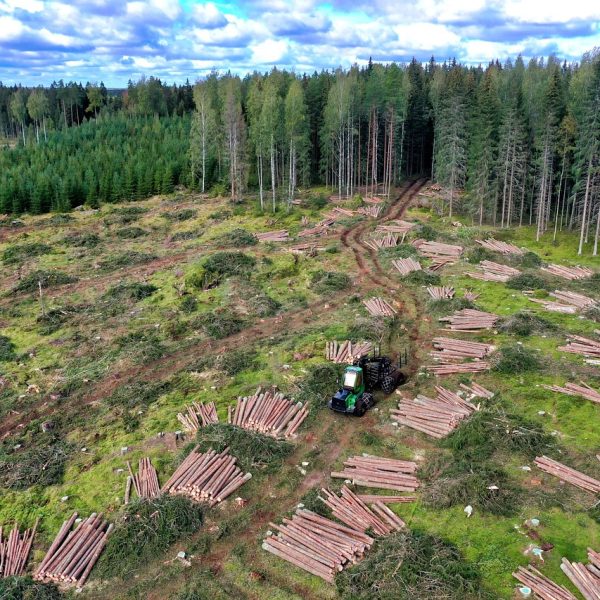
Knowing what species grow in your forest is essential for conservation, sustainable harvesting, and carbon valuation — but traditional surveys are time-consuming, invasive, and limited in scope.
Cosmo Technologies uses drone-mounted RGB, multispectral, and hyperspectral sensors combined with deep learning models to automatically classify tree species from the air. Our AI learns from canopy texture, spectral signatures, crown shape, and environmental context — delivering high-resolution, geo-tagged species maps with confidence scores.
Whether you’re managing a monoculture plantation or a mixed native forest, our system gives you clarity at scale — fast.
What We Detect
integration with IUCN/ecological databases
early detection and density analysis
assess shifts in species composition across seasons or years
Deliverables
Use Cases
Why Choose Cosmo
100% remote, no rope access required
Minimal downtime, even under operational conditions
Detect issues early, prevent catastrophic failures
Let’s Keep Your Turbines Turning
Schedule an inspection or request a sample turbine defect report today.