Biomass & Carbon Estimation
Turning Forest Structure into Verified Climate Value
Overview
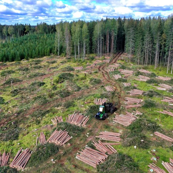
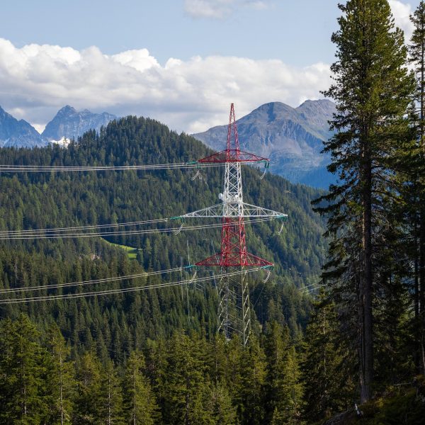
Understanding the biomass and carbon stock of a forest isn’t just important for ecological monitoring — it’s essential for carbon markets, REDD+ programs, and sustainable land management.
At Cosmo Technologies, we combine drone-mounted LiDAR, multispectral imaging, and species-specific AI models to generate accurate Above Ground Biomass (AGB) and carbon estimates — at scale and with scientific rigor.
Our outputs align with IPCC Tier II & III methodologies, providing spatially explicit biomass and carbon maps ready for use in MRV, climate finance, and carbon offset projects.
What We Measure
with customizable emission factors
early detection and density analysis
for pre- and post-harvest or reforestation tracking
Deliverables
Use Cases
Why Choose Cosmo
Biomass estimation accuracy ~92% (field-calibrated)
Compatible with national forest inventories & IPCC protocols
Works for mixed forests, plantations, and degraded lands
Need to quantify your forest’s climate value?
We’ll help you measure, model, and monetize your biomass.