Corridor & Route Survey (Linear Infrastructure)
Precision Path Planning for Roads, Rails, Pipelines, and Powerlines

Overview
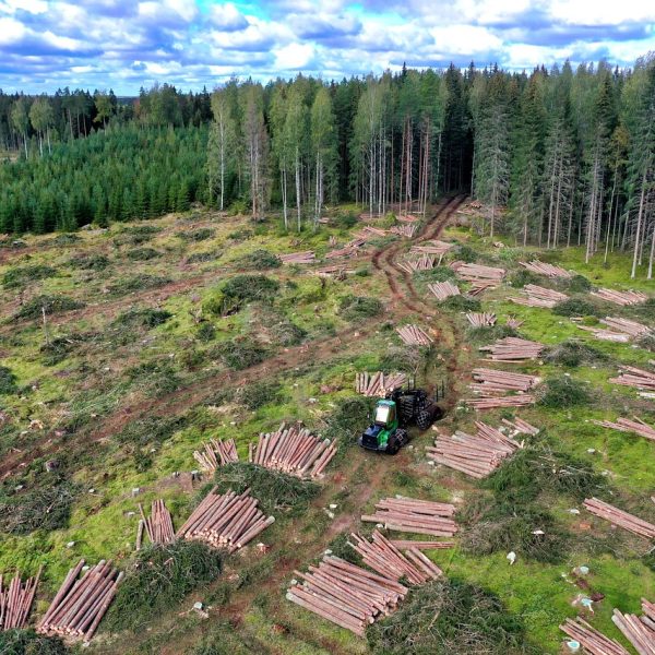
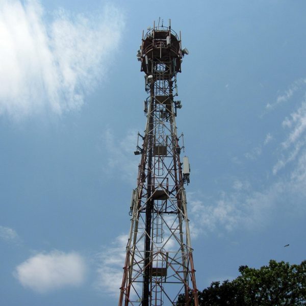
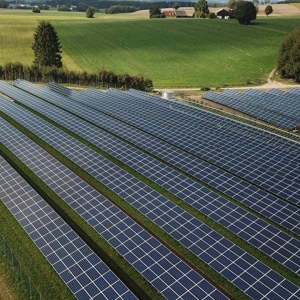
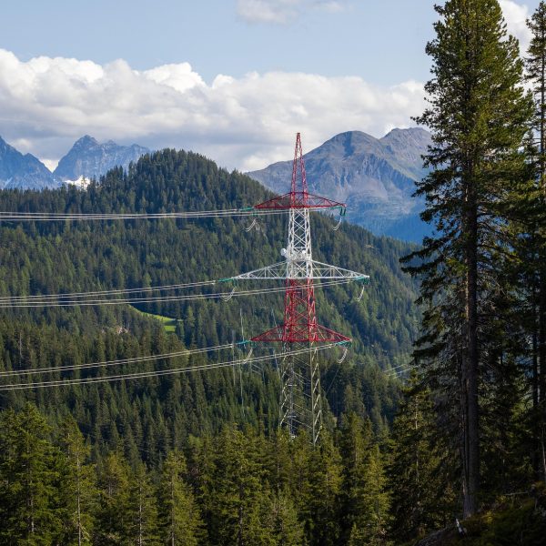
Linear infrastructure requires not just accurate mapping — but continuity, consistency, and foresight across long, narrow alignments. Cosmo Technologies specializes in corridor surveys for roads, highways, transmission lines, railways, gas pipelines, and more, using drone-based LiDAR and photogrammetry.
We capture every bend, elevation change, and potential obstruction along the route, enabling engineers and planners to make informed decisions — before a single stake hits the ground.
What We Map
Deliverables
Use Cases
Why Choose Cosmo
Ground resolution up to 2–5 cm/pixel
Ideal for forests, hills, and canopy-covered terrain
Quick turnaround: planning to delivery in under 10 days (typical)
Planning a linear project?
Let’s map the route before you lay it down.