Deforestation & Reforestation Mapping
Track Forest Change with Precision — In Real Time
Overview
Forests are under pressure — from illegal logging, encroachment, climate impacts, and shifting land use. Tracking these changes accurately, frequently, and at the right scale is essential for protecting ecosystems, enforcing regulations, and validating reforestation efforts.
Cosmo Technologies blends drone data, satellite imagery, and AI-powered change detection models to monitor forest loss, gain, and recovery. We offer a dynamic, multi-layered view of how your landscape is evolving — from top canopy cover down to the soil.
Whether you manage a protected area, carbon offset site, or restoration project, we provide the tools to detect, verify, and act on forest change.
What We Monitor
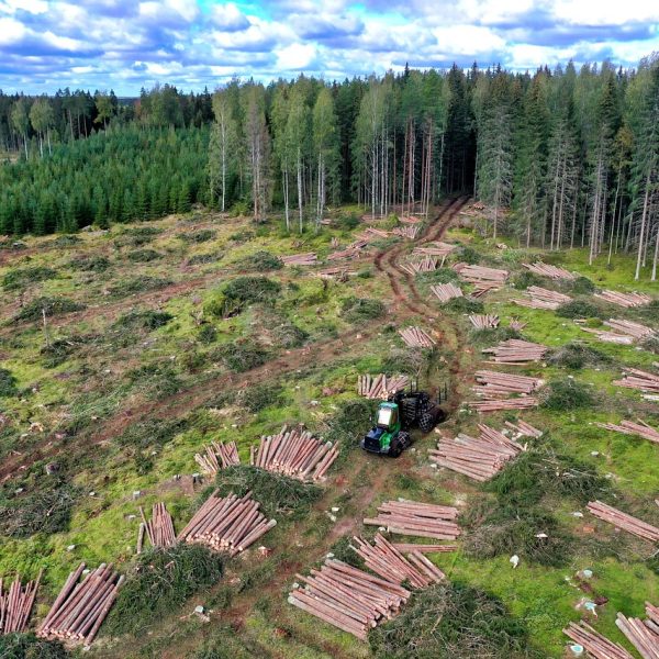
Clearings, logging activity, illegal encroachment
Regeneration, afforestation project tracking, canopy recovery
NDVI, EVI, and structural indices over time
Forest-to-farmland, shrubland, or degraded land
Compare across weeks, seasons, or years
Deliverables
Use Cases
Why Choose Cosmo
Drone + satellite fusion for local & regional accuracy
Automated weekly/monthly change detection alerts
Custom thresholds for buffer zones, canopy %, or land class
Need eyes on your forest — in real time?
Let us help you track what’s lost, what’s growing, and what’s next.
