Land Parcel Digitization
From Boundaries to Clarity — Fast, Accurate, and GIS-Ready

Overview
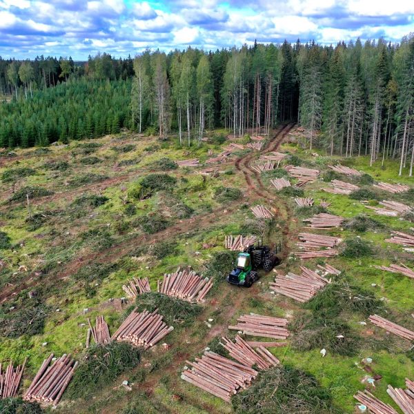
Managing large tracts of land — whether for development, agriculture, industrial use, or government planning — starts with having accurate, digital records. Cosmo Technologies offers drone-based land parcel mapping and digitization to convert complex ground realities into clean, geo-referenced vector layers.
We identify and trace field boundaries, ownership divisions, and zoning overlays — delivering outputs that integrate seamlessly with GIS platforms, urban planning tools, and land management systems.
We capture every bend, elevation change, and potential obstruction along the route, enabling engineers and planners to make informed decisions — before a single stake hits the ground.
What We Provide
Deliverables
Use Cases
Why Choose Cosmo
Accuracy within ±5–10 cm using RTK/PPK drones
Large-area digitization completed in days
Ground control verification available on request
Still working with paper maps?
Let’s help you digitize and future-proof your land data.