LiDAR-Based Tree Inventory
High-Precision Forest Mapping, Tree by Tree
Overview
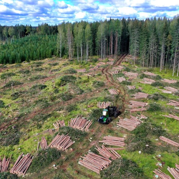
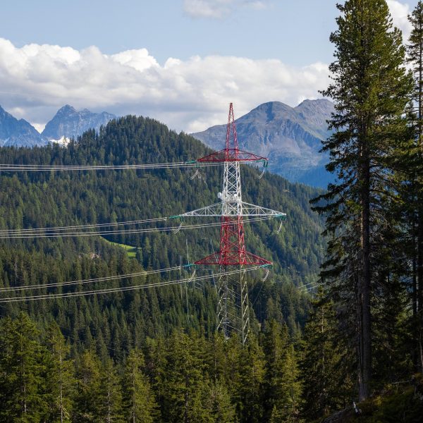
Counting trees is no longer a manual task. With Cosmo’s LiDAR-powered aerial systems, we generate ultra-detailed, 3D models of entire forest landscapes — measuring every tree’s height, crown width, and spatial distribution with centimeter-level accuracy.
Our drone-mounted LiDAR scanners penetrate dense canopies to capture millions of elevation points, allowing us to distinguish individual trees and even measure growth over time. From commercial plantations to natural forests, we provide a scalable, non-destructive solution for digital forest inventories.
Key Capabilities
Our Process
What You Receive
Blade-by-Blade Inspection Reports
Annotated Imagery with Fault Types
Severity Ratings & Urgency Flags
Consolidated Reports for Wind Farms
Why Choose Cosmo
100% remote, no rope access required
Minimal downtime, even under operational conditions
Detect issues early, prevent catastrophic failures
Let’s Keep Your Turbines Turning
Schedule an inspection or request a sample turbine defect report today.