Topographic Mapping (LiDAR / Photogrammetry)
See the Land As It Truly Is — in 3D, with Centimeter Accuracy

Overview
Understanding terrain is the foundation of every successful infrastructure, construction, or conservation project. Cosmo Technologies delivers high-resolution topographic maps using LiDAR scanning and photogrammetry, tailored to your needs — whether you need raw elevation data or contour maps ready for CAD, GIS, or BIM workflows.
We produce detailed 3D terrain models over large or inaccessible areas with minimal field time, reducing both risk and cost — without compromising on data accuracy.
What We Deliver
ground-level surface contours
includes vegetation, buildings, etc.
stitched, geo-referenced high-res RGB imagery
generated at custom intervals
for runoff, grading, or layout planning
Output Formats
Use Cases
Why Choose Cosmo
LiDAR accuracy up to ±5 cm vertical
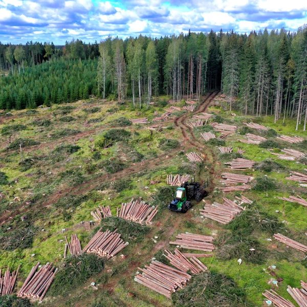
Ideal for forests, hills, and canopy-covered terrain
Faster, safer, and far more detailed than traditional leveling
Need the lay of the land?
We’ll help you map it fast, accurately, and affordably.